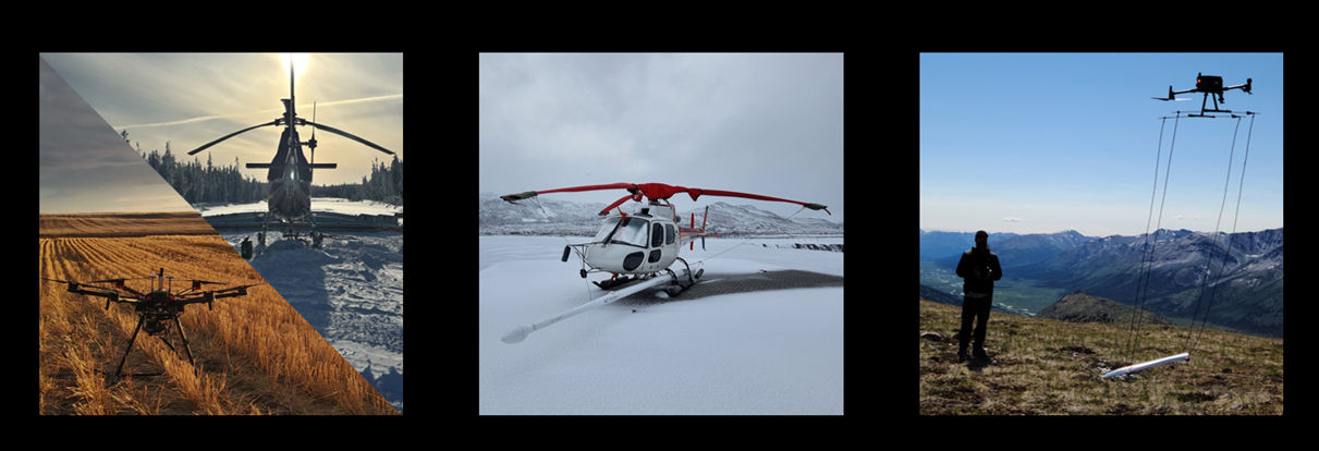
Axiom specializes in airborne geophysical surveys, providing high-resolution data for mineral exploration, oil and gas, groundwater, geotechnical and engineering, and environmental projects.
Our helicopter services include:
- Time-domain electromagnetics (TDEM),
- Gravity
- Magnetic (total field and horizontal gradient),
- Radiometric, and
- LiDAR
Our drone services include :
Airborne surveying facilitates data collection over large and hard-to-access areas. They are extremely useful for regional reconnaissance, to quickly understand a large property or project area, or when targets are large or in hard-to-access areas. It is common to use airborne surveys as a first pass technique to select targets for more in-depth and focused ground geophysical work.
Drone surveying is a relatively new technique that has been made possible by recent advanced in unmanned aerial vehicles in the last decade. It strikes a middle ground between traditional airborne and ground surveying. Compared to helicopter surveys, drones offer lower flight heights and tighter line spacing, improving resolution. Compared to ground surveys, they can cover more ground or access difficult areas.