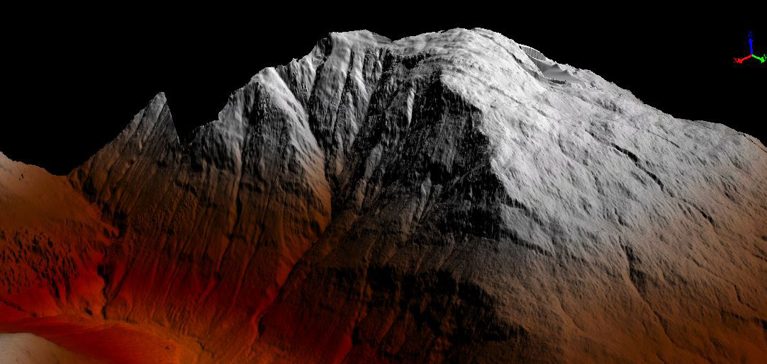
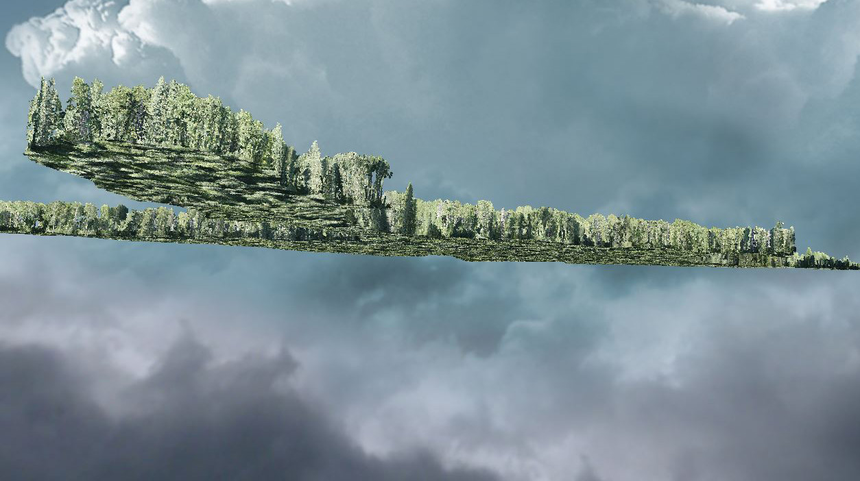
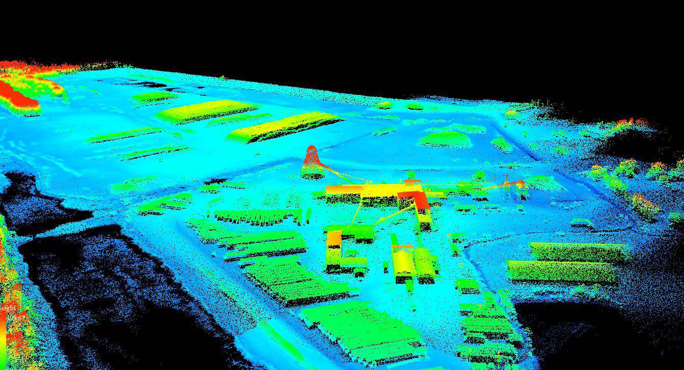
Light Detection and Ranging (LiDAR) is a remote sensing method that uses light in the form of a pulsed laser to measure distances to the Earth from various platforms. This technology generates precise three-dimensional information about specific areas or surfaces such as trees, buildings, and other infrastructure.
Photogrammetry
Photogrammetry is a precise and versatile technique used to obtain reliable measurements and three-dimensional data from photographs. By capturing multiple images of an object, structure, or terrain from different angles, photogrammetry allows for the creation of detailed maps, models, and reconstructions. This method is widely applied in fields such as topographic mapping, architecture, engineering, and archaeology. The integration of photogrammetry with advanced technologies like drones and GPS has further enhanced its accuracy and efficiency, making it an essential tool for surveying and spatial analysis. Photogrammetry complements LiDAR by providing high-resolution visual data, which is crucial for comprehensive geospatial assessments and decision-making.
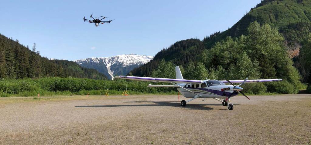
AXIOM GROUP’s LiDAR and Photogrammetry surveys use the latest technology available; our in-house proprietary systems were developed (and are continually refined) by a team of highly qualified and experienced engineers and geophysicists.
LiDAR technology is useful for a variety y of applications, including:
- Crop and Vegetation Health: Assessing crop health, species classification, and stand discrimination.
- Digital Elevation Model/Digital Surface Model (DEM/DSM): Creating detailed terrain models.
- Drainage and Slope Analysis: Analyzing terrain for water drainage and slope stability.
- Mineral Exploration: Identifying mineral deposits and analyzing geological features.
- Powerline Inspections: Inspecting and monitoring powerlines for maintenance.
- Right-of-Way and Post-Closure Vegetation Monitoring and Erosion Assessment: Monitoring vegetation growth and erosion in areas cleared for construction or mining. We can help strengthen your competitive advantage and contribute to better business decisions with up-to-date insights in the following areas:
- Asset Monitoring: Continuous monitoring of infrastructure and natural resources.
- Change Detection: Identifying changes in the environment over time.
- Digital Transformation: Integrating digital technologies to improve business processes.
- Operational Efficiency Identification: Analyzing data to enhance operational efficiencies.
- Sustainable Development: Supporting sustainable development initiatives through precise data analysis.