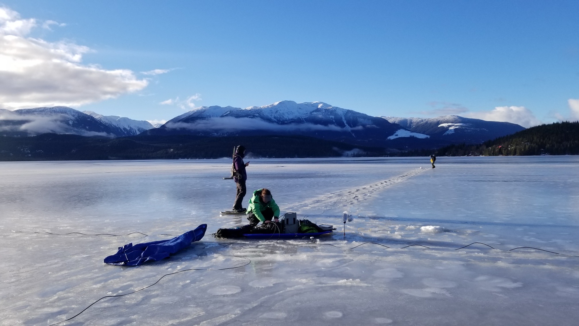
The magnetotelluric (MT) method is a passive technique that measures natural electromagnetic (EM) signals from global lightning activity and solar storms. These natural signals are much lower frequency than active source EM methods. Therefore, allowing MT to image significantly deeper (up to 10-100 km) into the subsurface.
Data is used to model resistivity that correlates with geology, geothermal resources, ore zones, fluids, and structure.
MT surveys are versatile and can be deployed in a number of configurations depending on exploration requirements. Regularly or irregularly spaced 2-D and 3-D grids can be designed to accommodate terrain and logistics. The data are easy to integrate with other EM methods to enhance models and interpretations.
Common applications:
- Imaging the “roots” of mineral deposits for mineral systems and upgrading deposit potential.
- Regional coverage over a property (a great assessment credits tool).
- Imaging targets deeper than other EM methods can image.
- Feeder or source structures
- Regional aquifer or basin groundwater mapping.