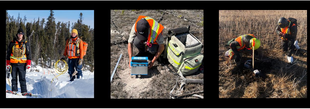
Axiom offers several ground geophysical survey options to support decision making in mineral exploration, oil and gas, geothermal, agricultural, water, geotechnical and engineering, and environmental projects.
Ground geophysical surveys offer the highest resolution and are an excellent tool to use as a follow-up for airborne surveys or prior to drilling for a variety of commodities including gold, uranium, base metals (e.g. nickel, iron, copper), critical minerals (e.g. lithium, cobalt) and rare earths.
Axiom provides gravity, magnetic and seismic ground surveys as well as a wide range of electromagnetic ground surveys.
Electromagnetics
Electromagnetic (EM) geophysical methods are a cornerstone of geophysical investigations and are routinely used in a wide variety of industries. EM methods are highly sensitive to many ore deposits, water and fluids, temperature anomalies, buried metallic objects, and soil property variations.
There are numerous EM systems available today that specialize in surveying at different depths. Axiom offers several systems with common applications in the table below.
| Electromagnetic Method | Depth of Investigation | Common Applications |
|---|---|---|
| GPR | < 5 m | Mapping underground infrastructure. |
| EM31 | < 6 m | Detection of shallow orebodies or buried objects. Utility mapping. Soil or aggregate mapping. |
| Loupe | 20 – 40m | Detection of ore zones or near-mine hazards. Groundwater monitoring. Mapping underground infrastructure. |
| Borehole EM | Depth of borehole | Detect off-hole features that were not intersected by drilling. Refining drilling campaigns. |
| Large Loop TDEM | 500 – 1000 m | Targeted, deeper assessment of orebodies. Hydrogeologic mapping. |
| Magnetotellurics | 5 – 200 km | Targeted, deeper assessment of orebodies. Hydrogeologic mapping. |
Potential Fields (Gravity and Magnetics)
Gravity (gravimetry) and magnetic (magnetometry) methods are together called potential fields methods. The gravity method detects very small changes in density of the Earth, while the magnetic method detects changes in the magnetization. When conducted over a survey area, these methods provide a fast, non-invasive, and efficient tool to assess structure and features below ground. Both methods have a wide array of applications in numerous industries.
Passive Seismic
In partnership with Fleet Space Technologies, Axiom is the sole provider of Fleet’s Ambient Noise Tomography (ANT), horizontal-to-vertical-spectral radio (HVSR), and ExoSphere services in the Western Hemisphere. ANT is used to produce velocity models and has applications primarily in mineral and geothermal exploration. HVSR provides information of sedimentary overburden thickness and is often collected with ANT to provide constraints on the near surface to improve modelling.
ANT and HVSR are considered passive seismic methods and require no active source to collect data. Survey crews deploy a number of sensors simultaneously over an area to collect data. Fleet provide real-time telemetry and modelling so sensors can be monitored for status-of-health and the survey design can be adapted as needed.
Induced Polarization (IP)
Enhancing Subsurface Imaging
IP measures the ability of rocks and soils to temporarily hold an electric charge, identifying metallic sulfides, disseminated ore bodies, and other conductive materials.
- Applications: Ideal for mineral exploration, especially sulfide minerals, disseminated ores, and porphyry systems.
- Benefits: High-resolution imaging of subsurface structures for improved drill targeting and resource delineation.