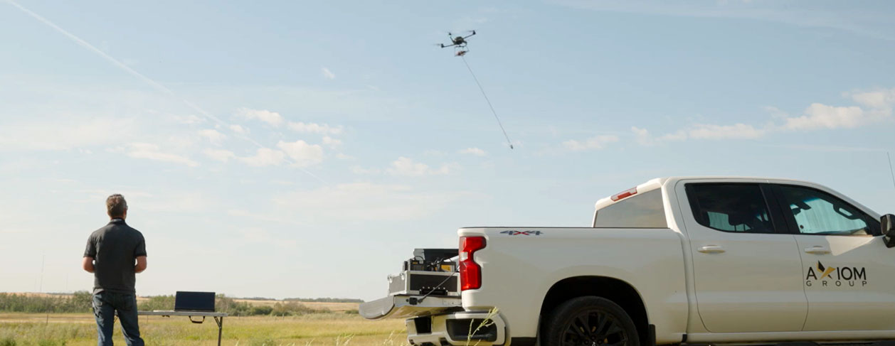
At AXIOM GROUP, we leverage advanced Unmanned Aerial Vehicle (UAV) technology to enhance geological exploration. UAVs offer a unique bird’s-eye view of the terrain, efficiently capturing high-resolution data from challenging environments. These UAV-based solutions complement traditional fieldwork by providing large-scale ortho photos, scouting for nearby outcrops of interest, and offering insights from otherwise inaccessible locations. While UAVs significantly reduce the time and risks associated with traditional field mapping, they are not a substitute for well-trained geologists. Many essential geological measurements, such as detailed structural analyses and in-situ rock assessments, can only be conducted by experts in the field.
Aerial Photography and Mapping
Our UAVs are equipped with high-resolution cameras that capture detailed aerial photographs, ideal for creating accurate geological maps. These images allow geologists to analyze the landscape from a fresh perspective, helping to identify key geological structures and plan exploration activities with precision. UAVs complement ground surveys by covering large areas efficiently, scouting potential outcrops, and enhancing fieldwork planning.
Access to Remote and Hazardous Areas
UAVs offer unparalleled access to remote and dangerous areas, such as steep cliffs and overhanging rock formations. By reducing the need for geologists to physically enter these hazardous terrains, UAVs improve safety while ensuring comprehensive data collection. However, they work in tandem with on-the-ground geological efforts to ensure the highest level of data accuracy and detail.
Advanced Surveying Capabilities
Beyond basic aerial photography, AXIOM GROUP’s UAVs are equipped with advanced sensors for specialized surveys:
- Drone Magnetometry: High-resolution magnetic surveys that help detect subsurface geological features and potential mineral deposits.
- LiDAR (Light Detection and Ranging): Generating precise 3D terrain models, LiDAR is particularly effective in creating detailed topographic maps in rugged or vegetated areas.
- Multispectral and Hyperspectral Imaging: Capturing data across multiple wavelengths, these sensors identify specific mineral compositions and environmental conditions crucial for advanced exploration and monitoring.
- Photogrammetry: UAV photogrammetry captures overlapping images that generate accurate 3D models and orthophotos of geological features. This method is particularly useful for documenting complex rock structures and assessing slope stability, providing detailed insights essential for geological investigations.


