Total Field Magnetics
Total field magnetic surveys are a fairly straightforward survey type. The magnetic sensors, called magnetometers, measure the magnetic field of the earth. Various rocks and materials are magnetized by this field as a result of their respective magnetic susceptibilities. Magnetic surveys allow mapping of magnetic susceptibility, which is often related to changes in geology, ore, buried metallic objects, and so on. The resolution of a total field magnetic survey is ultimately a function of flight height and line spacing.
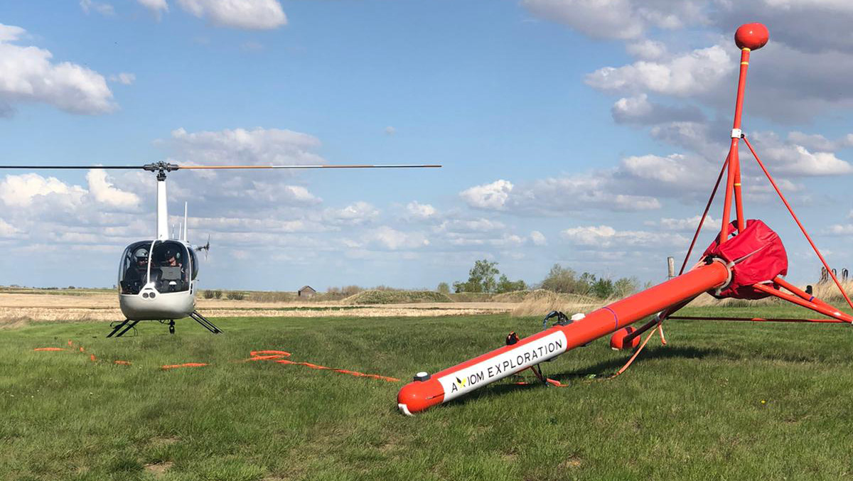
Axiom offers two separate airborne platforms for total field surveys. It is a standard system that is included in XciteTM TDEM surveys, in partnership with NRG. It can also be flown as a standalone system.
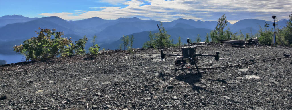
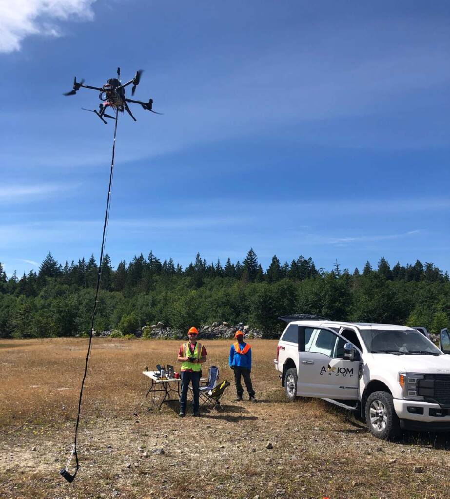
For higher resolution surveying specific targets, hard to access locations, or smaller areas, Axiom also offers drone-based total field surveys.
A Scintrex CS3 is used for helicopter surveys, while a GEM GSMP-35U potassium magnetometer is used for drone surveys. Both systems are industry-standard instruments will well-established performance histories.
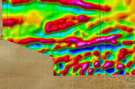
Triaxial (Magnetic Gradiometry)
The second magnetic survey uses a triaxial magnetic gradiometer, which is also referred to as gradient magnetic and magnetic gradiometry. Many mathematical techniques are used to approximate magnetic gradients from total field magnetic data as they are often useful for highlighting structures and features of interest. Triaxial systems now allow for their direct measurements and the generation of more accurate magnetic maps. Additionally, complex magnetic 2D and 3D models can be better constrained and resolved with incorporation of gradient data.
The triaxial system records the total magnetic field using 3 sensors separated by a distance of roughly 3.5 m. Vertical gradients are highly useful for identifying geologic and structural contacts as well as near-surface targets. Horizontal gradients are useful for examining the lateral extent of magnetic anomalies between survey lines. Triaxial systems are ideal in areas where geological structure is complex or where subtle features that may be lost in total field measurements are important to image.
Axiom uses a GEM Triaxial magnetometer system for gradient surveys.
Axiom Airborne Magnetic Services
Axiom offers end-to-end magnetic consulting services that include:
- Survey design, field training, in-field data acquisition, processing in collaboration with NRG, and inverse modelling to produce 2D and 3D forward and inversion magnetic susceptibility models.
- Third party review, remodeling, model testing, and interpretation of previously collected datasets.
- Integration of geochemical, geologic, and geophysical data with susceptibility models to improve interpretation.
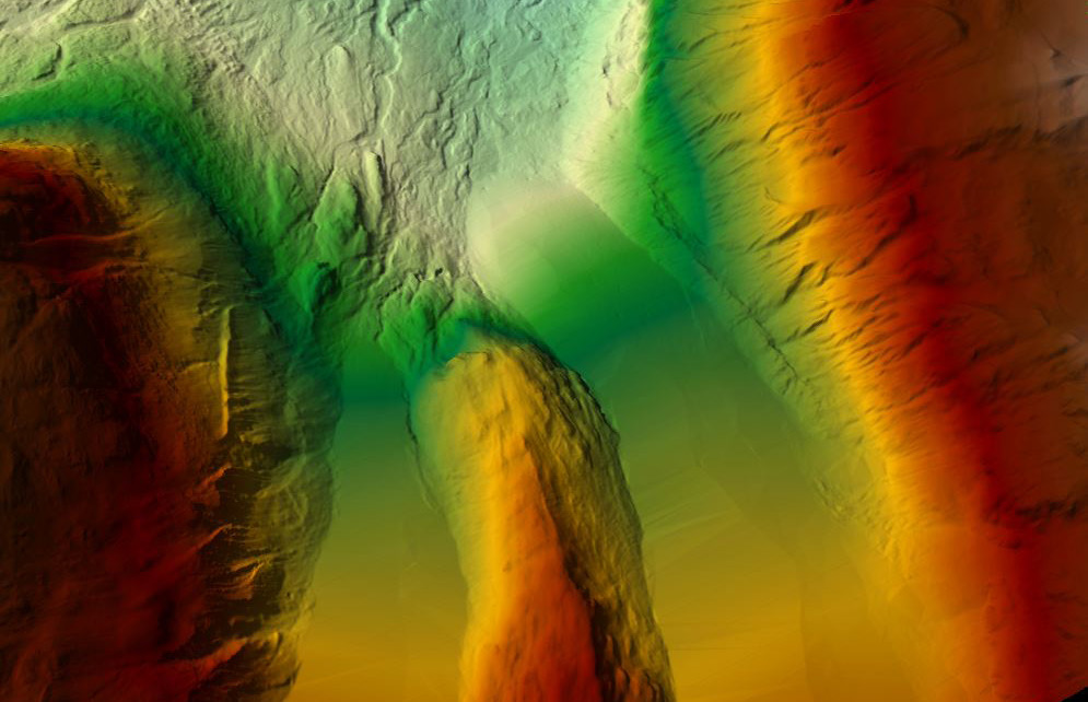
Total field, reduced to pole, vertical derivative, horizontal derivative, analytic signal, and regional field removal are standard data filtering to enhance anomalies and boundaries.
Axiom’s combined in-house expertise with magnetics surveying spans multiple decades with its use in exploration and geotechnical applications. Standard data deliverables include reduced to pole, gradient/derivative, and analytic signal maps. Axiom can also produce 2D and 3D magnetic inversion models, if desired.
Common Applications:
- Mineral exploration
- Ore body targeting
- Structure mapping
- Landfill mapping
- Buried metallic object detection
- Biomineralization plume mapping
- Curie point depth
- Orphan or abandoned wells
- Depth to basement (bedrock)
- Pipeline detection
- Geologic mapping