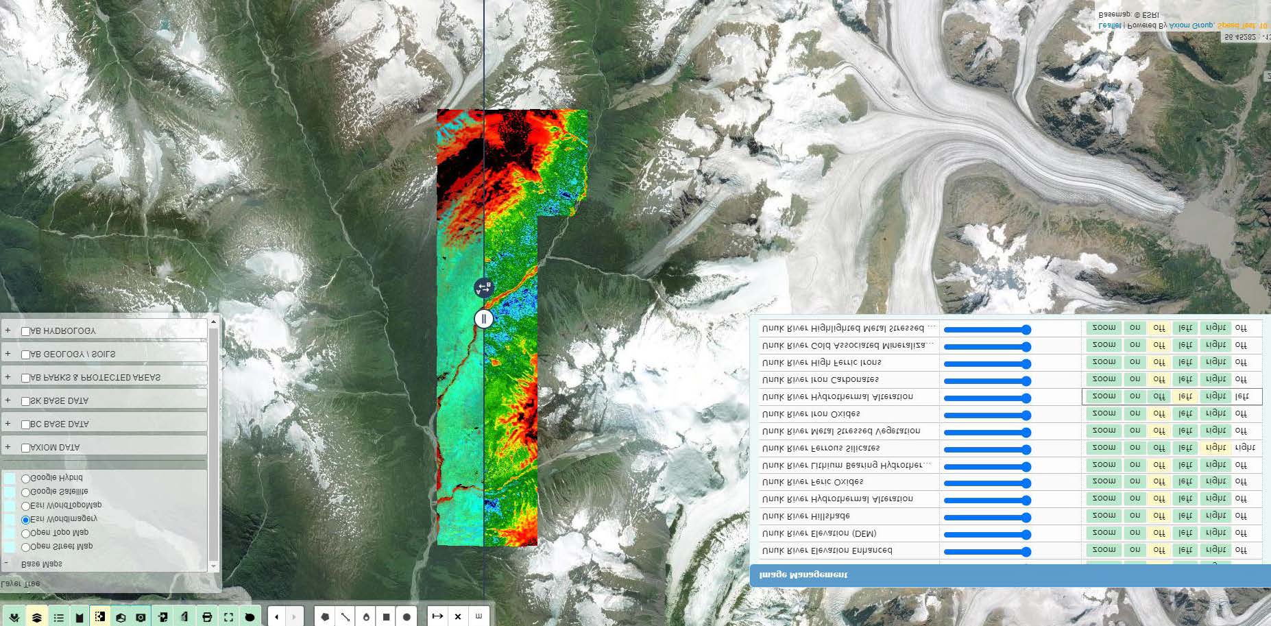
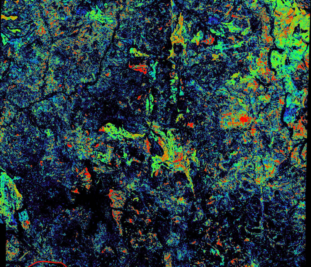
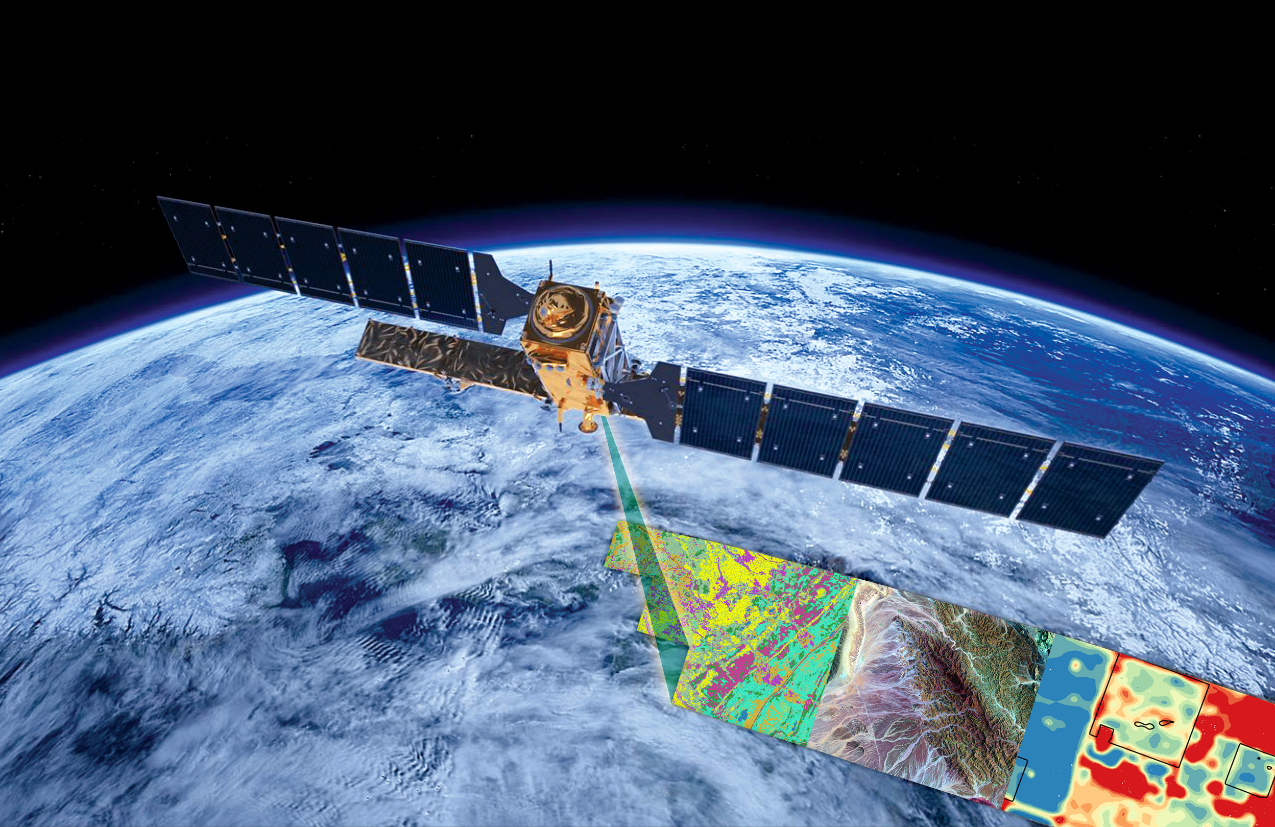
AXIOM GROUP uses the latest synthetic aperture radar and multispectral imaging to analyze structure, vegetation, alteration, and ground movement so complex anomalies over large areas can be quickly and effectively identified.
This multivariate exploration approach combines existing geological, geochemical, and geophysical data with multiple satellite analyses to identify new potential mineral targets so you can make better decisions for the best use of your resources and better returns on investment.
But that’s not all.
AXIOM GROUP provides cost-effective survey planning to maximize your exploration budget. Our analysis can unlock the deeper insights you need to drive your organization’s decision-making, innovation, strategic action — and success.

Here’s why satellite data is so useful:
• 10m resolution data or more
• Frequent image capture
• Nearly all-weather capability, day or night, with minimal atmospheric effects
• Penetrate through vegetation
• Up to 32 spectral bands available for advanced analysis
AXIOM GROUP’s satellite analyses use the latest technology available; our in-house proprietary systems were developed (and are continually refined) by a team of highly qualified and experienced engineers and geophysicists.
AXIOM’s satellite images can be used to analyze and monitor remote areas, vegetation, water bodies, land subsidence and abandoned sites, and optimize supply chains from raw material to the end product.
We can monitor:
• Change detection
• Drought and moisture content
• Environmental assessment, impacts
• Exploration
• Plant health
• Production planning and forecasting
• Remote life cycle monitoring
• Soil chemistry and carbon sequestration
• Spectral and hyperspectral analysis
• Supply chain optimization
• Sustainability and reclamation
• Timber and forest management
• Vegetation monitoring, reclamation and remediation
Find out more, or contact us to schedule a consultation.


